





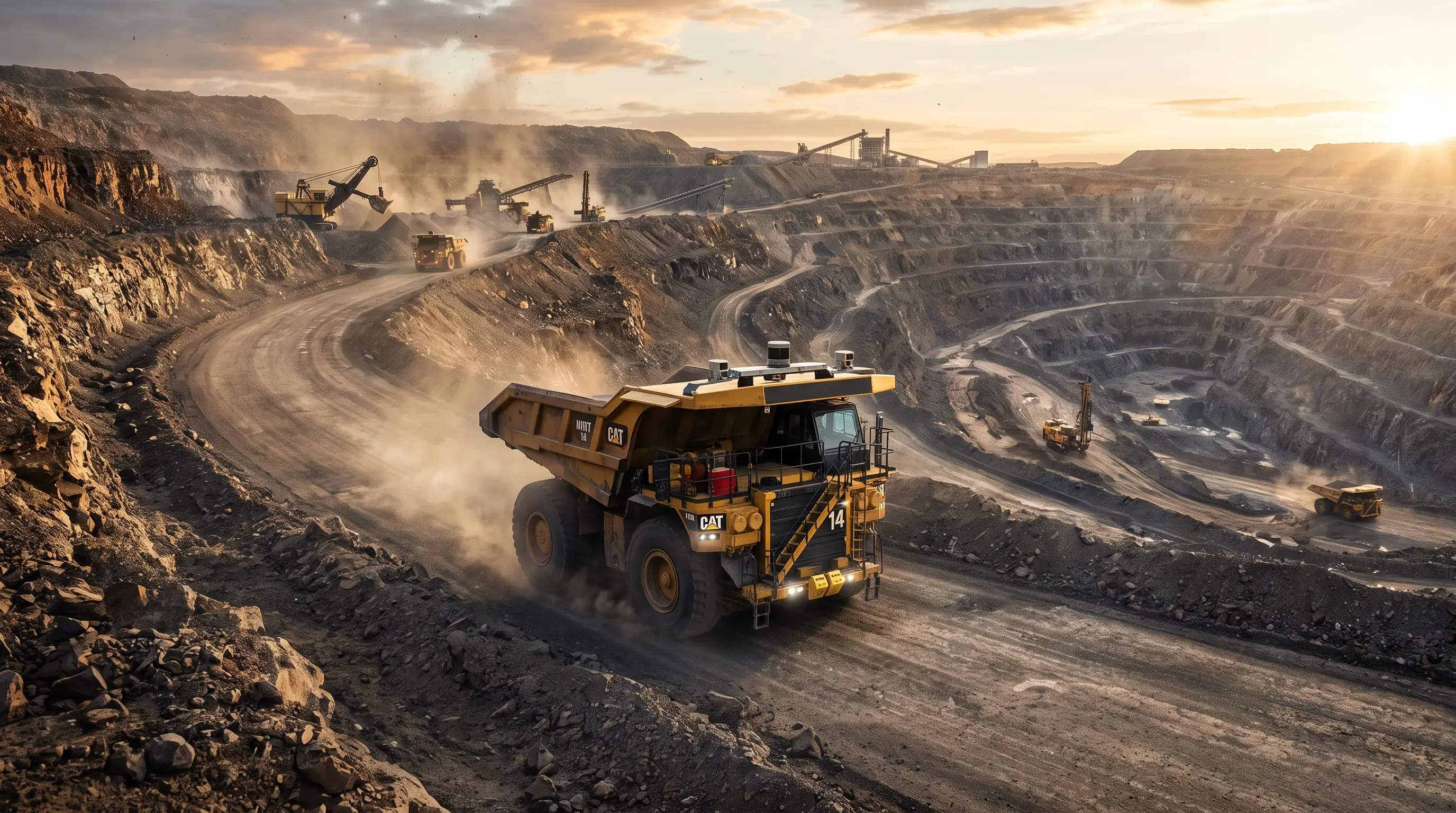
Learn how Caterpillar revolutionizes heavy industrial sites with advanced 3D digital LiDAR scans embedded directly into the Cat MineStar Command platform. This guide examines the shift to a vehicle-centric perspective. It explains how high-resolution arrays enable massive haul trucks to recognize obstacles, calculate terrain hazards, and safely navigate complex mixed fleet environments.
Here is your content rewritten in plain English using shorter sentences, simple words, and direct phrasing. This version brings your Flesch Reading Ease score into the 60–70 range (Plain English / 6th–8th grade reading level) while keeping all technical details accurate.
Modern job sites are moving fast toward full automation. For years, big mining trucks relied on fixed markers, radio beacons, and set routes to get around.
However, surface mines change quickly, so trucks need to see and adapt on their own. Caterpillar solved this problem by adding 3D Light Detection and Ranging (LiDAR) sensors to its self-driving haul trucks. As a result, these trucks build real-time, high-resolution 3D maps of their surroundings, moving from basic path-following to true environmental awareness.
Adding laser sensors to big earthmovers changes how site safety works. In fact, by using 3D LiDAR sensors on off-highway trucks, these machines shoot out millions of laser pulses per second to scan the ground around them.
The truck's computer measures how these pulses bounce back to figure out the size, distance, and speed of nearby objects. Consequently, this process creates a live 3D map—called a point cloud—that updates continuously as the truck moves.
Unlike cameras that fail in dust, fog, or dark nights, LiDAR works in total darkness and harsh weather. Therefore, trucks can spot hazards, monitor road conditions, and navigate tricky job sites without stopping.
The real benefit comes from connecting LiDAR to the Cat MineStar Command hauling system. In the past, if a self-driving truck met an unmapped dirt pile or a stray vehicle, it stopped completely and waited for a human operator to help.
Now, with high-precision 3D vision built into the MineStar software, Cat trucks respond to real-time hazards on their own. For example, the truck can tell the difference between a harmless patch of dirt and a sharp rock. As a result, it slows down or drives around the danger without stopping work.
A major challenge on automated sites is mixing huge self-driving trucks with human drivers and ground workers. Because human actions are hard to predict, self-driving fleets need clear vision.
In addition, laser sensors act as a constant safety guard by tracking nearby vehicles in real time. Furthermore, the sensors recognize the distinct shapes and reflective vests of workers and light trucks. Therefore, if another vehicle strays into the path, the haul truck reacts quickly to prevent an accident.
Setting up old self-driving systems required buying and placing GPS base stations, physical beacons, and radio towers. Moreover, every time the mine expanded, crews had to move and recalibrate all that equipment, causing costly delays.
In contrast, onboard 3D sensors turn every truck into a self-contained navigation unit. Consequently, trucks operate in new areas without any external setup. This cuts long-term equipment costs and makes scaling up easy for medium-sized mines.
Caterpillar's 3D LiDAR technology replaces old automation methods with real machine intelligence. By letting heavy haulers see, evaluate, and navigate complex quarries on their own, this upgrade boosts daily output while keeping workers safe. Ultimately, laser-guided trucks are setting a new standard for global mining operations.
1. What are the main benefits of adding LiDAR to Caterpillar haul trucks?
LiDAR gives trucks clear 3D vision. Therefore, they can spot obstacles, tell different debris types apart, and route around hazards without stopping production.
2. Why is LiDAR better than standard cameras on a mining site?
LiDAR uses active laser pulses that shoot through heavy dust, darkness, and glare. In contrast, visual cameras struggle to see through dust and harsh light.
3. Can Caterpillar self-driving trucks work safely around human drivers?
Yes. The 3D sensors track surrounding traffic in real time, allowing the truck to slow down or move aside if a human driver enters its path.
4. Do these trucks need GPS towers or ground beacons to navigate?
No. Because the laser sensors are mounted directly on the truck, the vehicle maps its own route without relying on fixed ground beacons.
5. Which software processes the 3D data from the laser sensors?
Cat MineStar Command software processes the raw 3D point cloud data to make steering, braking, and routing decisions instantly.


Leave a comment
Your email address will not be published. Required fields are marked *